Where was your city in the time of the dinosaurs? This curious map answers your question and shows you the earth millions of years ago.
The website DinosaurPictures.org is dedicated to history, more precisely to disnosaurs. But a curious characteristic that it has is its interactive map that shows us how the planet evolved throughout history.
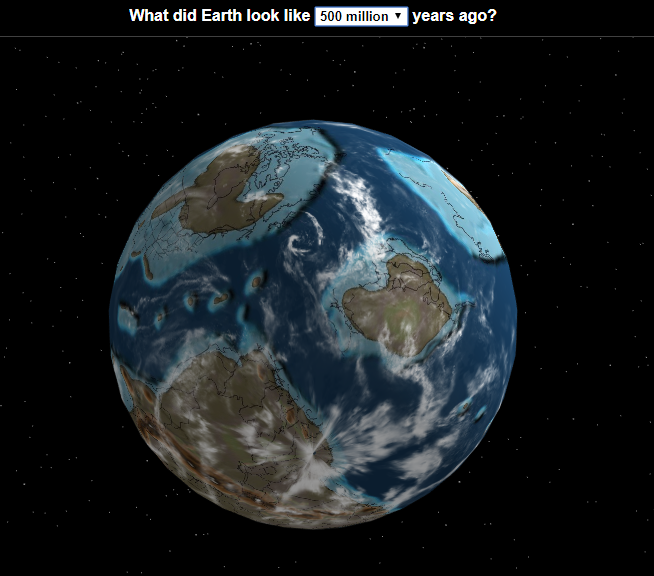
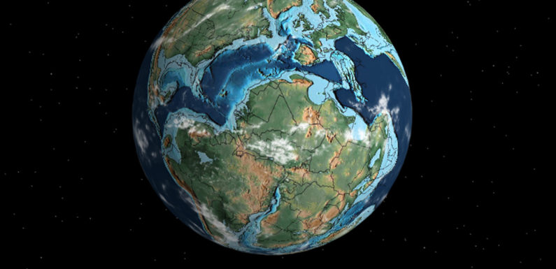
In this way, we can see where our city was located millions of years ago and the shape of the continents and oceans.
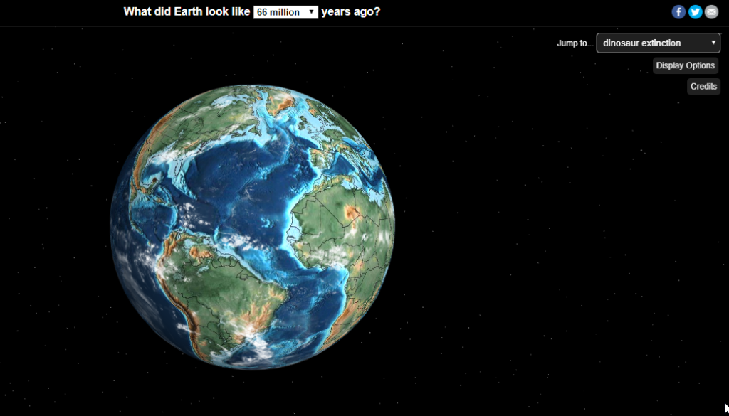
To see it we have to enter the interactive map and once there we can travel in time using the menu at the top and choose a specific date, or the upper right menu that takes us to specific moments in history (such as extinction of the dinosaurs).
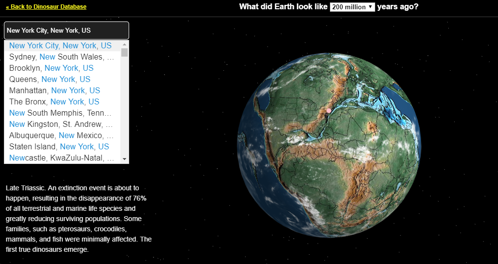
In the search box at the top left we write the name of our city. If the tectonic plates already existed at the time we have chosen, the map will show us a pink circle with the location of the lands where our city is today.
The map below shows us where New York was 200 million years ago 🙂